A new first-hand account of last week’s flooding in Boulder, from the Parting the Waters Blog.
It’s quite a sight to see a raging river where you didn’t even know there was a creek.
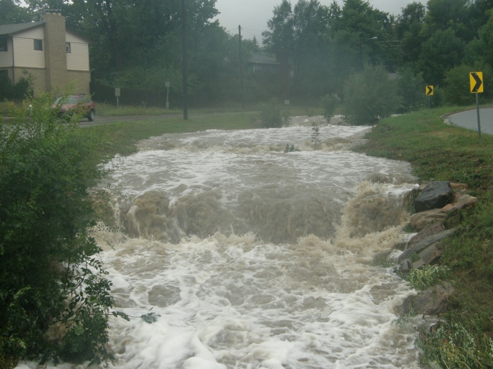
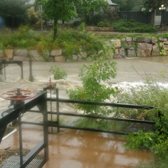
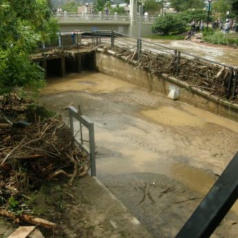
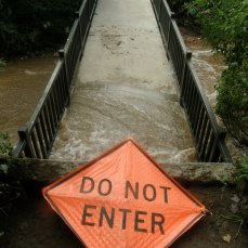
This was the sight that greeted me on the afternoon of Thursday, the 12th of September, 2013. Bear Canyon Creek, which flows in a road median in south Boulder, was announcing its presence with a thunderous roar. To put the above photo into context, I catch my regular bus on this street and you can’t usually hear the creek from the bus stop. It flows casually downhill, well-hidden by the trees, grasses and shrubs within the stream banks. Last week every creek in Boulder County was raging like this, the consequence of record-setting rainfall from Monday the 11th to Sunday the 17th.
I’ve never seen anything like this amount of water on the Front Range. How did these remarkable scenes come about? Simply, a combination of freakishly abnormal weather, decades of engineering, and drought-driven forest fire activity. Let’s look at these one at a time.
I’m No Meteorologist, But This Is A Lot of Rain
I’m going to paraphrase the reportage of every skier’s favorite meteorologist, Joel Gratz.
One of the first things you learn about weather and climate is that precipitation falls when moisture-filled air is elevated. This is because the water vapor within the air column cools as it rises, and as it cools it densifies into liquid or solid form. In Colorado, the primary way moisture gets elevated is by pushing up against our very tall mountains. The air mass is lifted above the sheer mass of the mountain ranges, where the moisture condenses and falls as rain or snow.
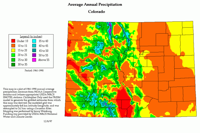
Map of average annual precipitation. Warmer colors are drier (all units are inches per year). Image courtesy NOAA.
The map above shows cooler colors – purples, blues and greens corresponding to Colorado’s high mountains. Two weeks ago, a low pressure system over Utah and a high pressure system over Kansas combined to draw immense amounts of moisture into Colorado from the tropics (see below).
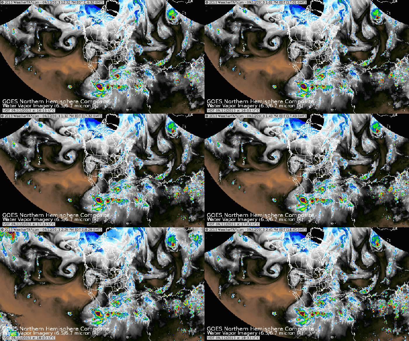
Moisture from the tropics (the band of grey extending south of Colorado) being drawn northward. Image courtesy WeatherTap.com
This band of moisture would have dumped a lot of rain on the first place it got elevated- and that place happened to be the northern Front Range. Winds from the east pushed the moisture up against the mountain front, elevating the moist tropical air mass and producing rain.
But how come we got so much?
The storm in question was extremely slow-moving. Normally a moisture band like this moves quickly, dropping an inch or two and then moving on. This storm remained in place for five days! No wonder we had the wettest day, by far, in the history of Boulder (upward of eight inches from 7 AM Wednesday to 7 AM Thursday), the wettest month on record with just five days of rainfall, and seventy percent of our average annual precipitation over the course of the week. Obviously this was more water than our streams are capable of holding within their banks. Flooding is entirely normal in any river- the floodplain acts as a release valve for the stream, and flood waters inundate riparian soils to sustain plant life. This leads us to the second part of the story…
Engineering and Risk
Much of Boulder is located within the officially demarcated 500-year floodplain. This terminology does not mean that a flood of such magnitude is expected to recur every 500 years, by the way. It means that there is about a 1-in-500 chance of such a flood happening in any given year. In any event, we place our homes at a certain level of risk when we build inside any floodplain, from 5-year to 5000-year. Storm water engineering in Boulder is likewise designed around a certain capacity calibrated to a certain magnitude flood. These capacities were exceeded early on in the storm, and the rain kept coming.
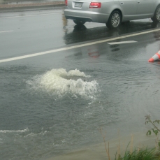
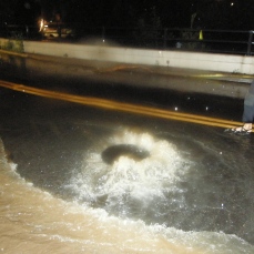
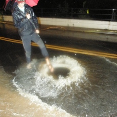
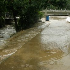
Obviously, it doesn’t make sense to design a storm sewer for exceedingly rare flood events. Every city accepts a level of risk and designs accordingly. I’ve been told, though I haven’t confirmed this, that the city of Boulder’s is designed to accommodate a 100-year event. Estimates for this record-breaking storm range from 100 years as a minimum all the way to a 1000-year event. Certainly 5000 cubic feet of water per second (a cubic foot is about the size of a basketball in a stream that averages 100-200 cubic feet per second qualifies as exceedingly rare. Bear Canyon Creek, in my neighborhood, lacks a stream gauge so I don’t know exactly how much water was flowing through it on the night of September 12. All I can do is show you (and keep in mind, this is well after it crested, when it was flowing from curb to curb on the streets on both sides of the creek):
The Fire Problem
A final quick note about the impacts of forest fires. In September of 2010, the foothills above Boulder suffered yet another fire- at the time, the most costly and destructive in Colorado history. The Fourmile Canyon Fire burned 6,181 acres in the Boulder Creek, Fourmile Creek, and Left Hand Creek watersheds, immediately above the city of Boulder.
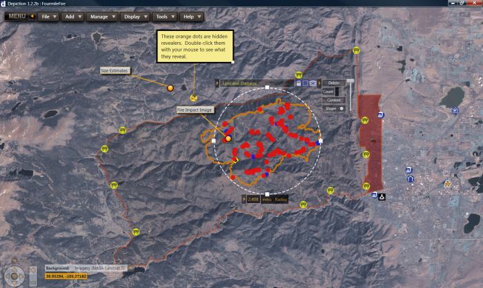
The orange perimeter shows the extent of the Fourmile Canyon Fire in 2010; the dark red area at right is evacuation areas in the city of Boulder.
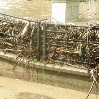
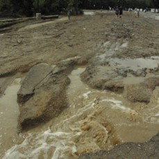
This destructive fire was but one of many fires in the Boulder County foothills since 2000, the start of the current drought. Fire consumes plants that take in water through their roots during a storm event; these plants also hold steep slopes together with their accumulated root mass. Severe fires also directly reduce the capacity of the soil to hold moisture. For a more in-depth discussion, check out this US Forest Service report (PDF). The overall effect of severe fires is to increase the amount of soil and water that heads downstream during a rainstorm, and more specifically, intensifying peak flows. The water in all of the creeks in Boulder was unusually silty, and filled with debris (see the gallery below).
Most of the time fire acts as a restorative measure in Western forests. Some species can’t even reproduce without the influence of fire. But very severe fires inhibit restorative growth, scar the soil, and leave it barren enough to move rapidly downhill in a storm. The impact of fire suppression and severe drought has been a buildup of highly flammable fuels, especially in areas inhabited by humans. I hope to get into this topic more in detail in another post, but suffice to say that mass erosion events like these floods are made more common by our insistence in suppressing fires, developing forested areas, and not managing our forests.
The Aftermath, and the Long Recovery
The scene on Sunday morning, in a brief pause between the rainy week and a quick reminder of a rainshower in the afternoon, was surreal. There was water and mud everywhere, even long distances from any creek. Low-lying streets had become streams while those just modestly higher in elevation were spared.
Obviously, the cleanup and recovery from this monster flood will take significant time and effort. If you would like to help the tens of thousands of people affected, you can find information at helpcoloradonow.org. This remarkable storm reminds me of the fragility that is human settlement in the West, and how quickly Mother Nature can put you on notice that she is still ultimately in charge. In many ways the entire story of water in the West is the same: we have settled here, engineered a way of life here, and most of the time had things pretty good. But our historic drought, and our historic floods, bring up one of my favorite adages about this part of the world:
There are two easy ways to die in the desert: Thirst and Drowning. -Craig Childs




 Print
Print
Hey CFWE, great post on the Boulder County floods. I like the details provided regarding the orographic lifting of high-moisture air from the Gulf of Mexico. I have heard laments after the flood of people wishing they knew more about atmospheric weather living in CO since it plays such a large role in decisions (where to live, etc).
While the details for why the storm came are apparent in your post, I thought your readers may be interested in further details about why the storm lingered for so long.
As mentioned in the post, the extreme low-pressure system over the Southern Great Basin pushed easterly winds up the Front Range (winds flow from high to low pressure systems). The reason that the rains lasted so long over Boulder was because this low-pressure system was actually cut off from the trough of the jetstream (where surface lows develop). By the end of the rain over Boulder, NOAA’s upper air maps showed the jetstream trough over southeast Canada/northeast US. This meant that the low-pressure system on the other side of the Front Range stayed stationary, forcing continuous orographic lifting of moist air on the east face and thus, dumping of rain over Boulder County. Since the cutoff low was left behind by the jetstream, its energy derived from cold air was also severed, leaving the effects of atmospheric friction to slowly dissipate the cyclone.
Swithin Lui, thank you for sharing! A great and thorough explanation of why the storm lingered over Boulder.
Although it’s not entirely related, you mentioned the laments of people wishing they knew more about weather since it plays a role in deciding where to live etc. I just came across this post on Trulia’s new mapping tool, which contains a flood risk category. The article points out that there isn’t data available for areas northeast of Denver, but the covered areas, Boulder included, are drawn with detail. Something else to consider when deciding where to live.
This is a very well done, informational post that helped me understand the science behind the extraordinarily heavy rainfall. As a student of the University of Colorado Boulder who lives on the ‘hill’ I had a different perspective and did not completely understand the extreme and longterm damage of the flood. Our basement was flooded and we had to move our furniture but everything seemed fixable without too much hassle. It was not until I spent a day helping an elderly lady move 40 plus years of collected books, furniture, and random items she had accumulated over time out of her house did I realize the true damage. The flood caused this woman’s house to begin growing black mold and she was forced to move out. She had lived in Colorado her whole life and said she had seen just about every weather phenomena the state had to offer, except this. This just goes to show Mother Nature will always be there to give a reality check.