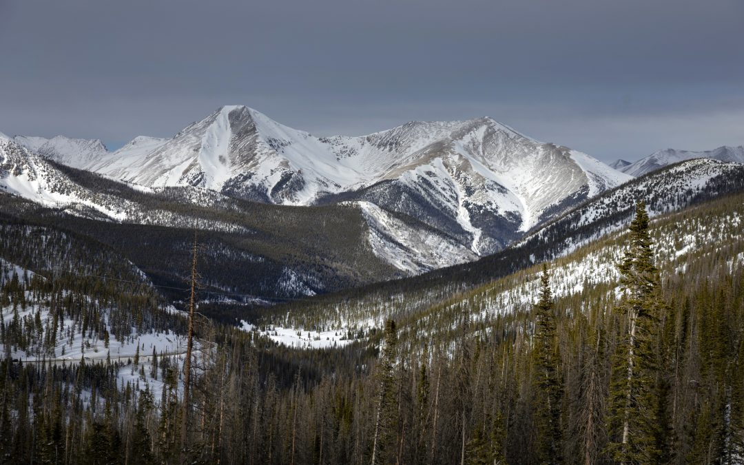
After this winter’s faltering start, the snowstorms in January and February boosted Colorado’s snowpack from around 10% to nearly 100% of normal accumulation for this time of year.
The slow-melting mountain snowpack in Colorado is a key water source during warm and dry months for communities around the state and across the West. Locally, the recent buildup, alongside improved drought conditions and full reservoirs, is a cause for optimism among water managers. Farther afield in the Colorado River Basin, this year’s snowpack is a much-needed drop in a very large bucket.
“We’ve made some pretty good gains since being in the 10th percentile back in early January,” said Brian Domonkos, Colorado Snow Survey supervisor, during a meeting of the Water Conditions Monitoring Committee on Tuesday. “Here over the last two, three weeks, we’ve received some pretty good storms in the mountains that have provided a much-needed boost.”
Colorado is about three-quarters of the way through its snowpack accumulation season, which typically peaks in April. Winter storms, or the lack thereof, in March, April and even May can still have a big impact on the state’s overall snowpack and annual water supply.
So far, Colorado’s snowpack has reached 96% of normal for this time of year, Domonkos said.
As of Tuesday, three of Colorado’s major river basins — the Gunnison, Colorado River headwaters and Yampa-White-Little Snake — hovered around 100% of the historic median, based on Natural Resources Conservation Service data from 1991 to 2020.

Four more — the Arkansas, South Platte, Laramie and North Platte, and San Miguel-Dolores-Animas-San Juan — were near normal at around 93% and 94% of the historic median.
The Upper Rio Grande River Basin, which includes the San Luis Valley, was slightly below normal at 87% of the median.
That’s a cause for optimism, said state Sen. Cleave Simpson, general manager of the Rio Grande Water Conservation District.
“You can turn this thing on its head with either one big event or a lack of events,” Simpson said. “It’s much better to be where we are today than at the other end of the spectrum.”
The Colorado River Basin, which provides water to 40 million people across the West, receives much of its water supply from the mountain snowpack in Colorado and other Upper Basin states.
The snowpack conditions generally range between 75% and 105% of normal across the Upper Basin, which includes Colorado, New Mexico, Utah and Wyoming. Modeling of the Lower Colorado River Basin — Arizona, California and Nevada — indicates that snowpack conditions are much higher than usual, ranging from 120% to 250% of normal.
Improved drought conditions
Recent snowstorms across the state helped improve drought conditions for much of the state, according to the U.S. Drought Monitor.
As of Feb. 13, the Front Range and Eastern Plains were free of drought. Parts of the Western Slope were still experiencing abnormally dry conditions, with a few areas dropping into moderate drought mainly in Rio Blanco, Garfield and San Juan counties.
The San Luis Valley continued to show moderate to severe drought conditions, which are the lowest of four drought categories used by the U.S. Drought Monitor. Portions of the valley have experienced extreme drought conditions since mid-November.
“There’s been a considerable improvement in the southern half of the state,” Domonkos said.

What does water storage look like?
Colorado water managers have been able to keep water storage at 100% of the historic median for this time of year.
“Across the state, reservoirs have stayed relatively steady,” Domonkos said. “Going back into years past … it was pretty rare to see 100% of median reservoirs through much of the winter, but it is something that we’ve been maintaining this year.”
In the Colorado River Basin, both of the basin’s largest reservoirs are expected to end the water year — which begins in October and ends in September — with less storage than they had at the start.
Forecasters expect about 7.36 million acre-feet to flow into Lake Powell — located on the Utah-Arizona border — from the Upper Basin between October 2023 and September. Last water year, Powell received almost twice that amount of water, about 13.42 million acre-feet.
One acre-foot provides a year’s supply of water to about two households.
This year, Powell is expected to release more than it catches, sending about 7.48 million acre-feet downstream to Lake Mead in compliance with interstate rules created in 2007, according to the U.S. Bureau of Reclamation.
Powell’s storage is expected to drop by 236,000 acre-feet to 8.49 million acre-feet by the end of September. The reservoir’s total capacity is about 26 million acre-feet.
Lake Mead started the water year at about 8.8 million acre-feet in October 2023, and it is forecasted to drop to 8.2 million acre-feet by the end of September. Mead’s total capacity is 28.9 million acre-feet.
In Colorado, farmers and ranchers are keeping a close eye on the water supply forecasts. Simpson, who grows alfalfa in the San Luis Valley, said the ground is still frozen, so there’s still time to see how the weather turns.
“We will kind of hold our breath and wait and see how the April streamflow forecasts come out,” he said.


 Print
Print